Butterfly Valley by Sea: Mooring Realities & Best Arrival Hours

Planning a coastal stop at Butterfly Valley (Kelebekler Vadisi)? Explore practical anchorage depth notes, daytime sea conditions, and ideal visiting hours.
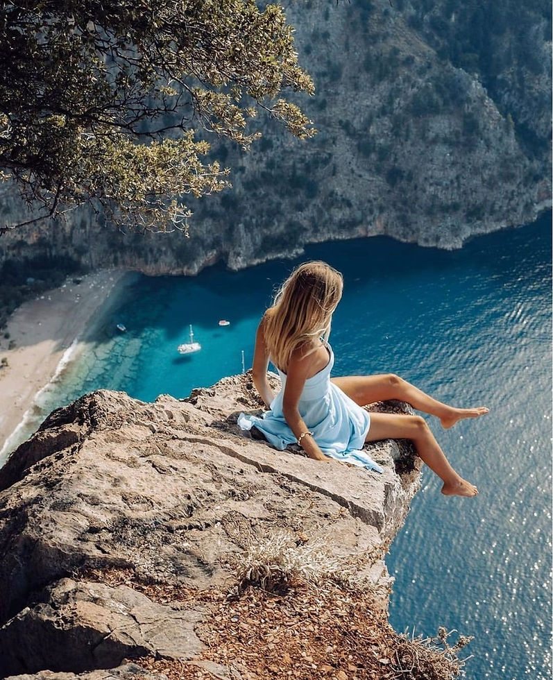
Butterfly Valley (Kelebekler Vadisi) is one of the most visually striking coastal landmarks along the Lycian shore. Enclosed by dramatic sheer limestone cliffs reaching up to 350 meters, this canyon opens directly onto a steep pebble beach and open sea. While widely celebrated for its pristine natural landscape and endemic butterfly species, visiting by boat requires careful attention to swell patterns and anchoring limitations.
Key Nautical & Anchorage Details
Open Exposure: The bay faces west-northwest and offers virtually no protection against prevailing southerly or westerly swells. It is strictly a daytime stopover in calm sea conditions and not recommended for overnight anchoring.
Steep Seabed: The underwater drop-off is exceptionally steep. Anchoring requires dropping in deep water (often 15–25 meters) close to the shoreline, or securing temporary mooring to local shore buoys if available.
Shore Access: Disembarking to the beach is typically done via tender/dinghy. Care should be exercised near the shoreline due to shore break waves during mid-day thermal winds.
Optimal Timing for Serenity
During peak hours, tour boats and day excursion vessels enter the bay between 11:00 AM and 03:30 PM. To experience the canyon’s atmospheric quietude:
Early Morning (08:00 – 10:30 AM): The sea is typically glass-smooth, allowing for effortless tender transfer and a quiet walk inland toward the waterfall before daytime heat and crowds accumulate.
Late Afternoon (After 04:30 PM): As commercial day boats depart, the valley returns to its peaceful state. The shadows cast by the steep cliffs create a cool, tranquil environment for a brief swim stop before setting course for protected overnight bays like Gemiler Island.
📖 Plan Your Complete Fethiye & Ölüdeniz Route
Looking for exact anchorage depth profiles, GPS coordinates, local weather patterns, and step-by-step sailing itineraries across Fethiye, Göcek, and Marmaris?

Comments